Mardan–Mirboo North
Landcare Group
About us
The Mardan – Mirboo North Landcare Group (MMNLG) was established in 2002 and is part of the South Gippsland Landcare Network (SGLN). Our group is based around the localities of Mirboo North, Mirboo and Mardan in South Gippsland. Our purpose is to protect and enhance the environment of our area and strengthen regenerative farming and sustainable land management practice to secure our area’s economic and environmental future.
Our catchment
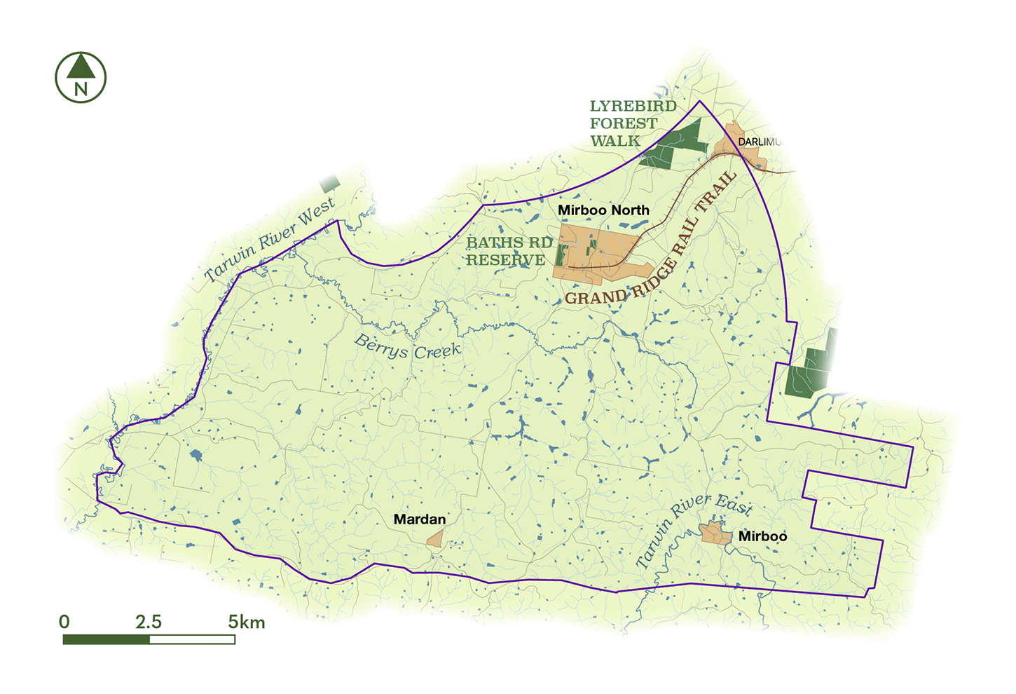
The area covered by our group nestles in the foothills of the Strzelecki Ranges between the East and West branches of the Tarwin River, encompassing the Berrys Creek catchment that feeds into the West Branch of the Tarwin. Our area covers nearly 20,000 hectares of mainly pastoral land, with some areas of hardwood plantation. It includes the Lyrebird Forest Walk, Baths Rd Reserve and the Eastern extent of the Grand Ridge Rail Trail (see map below).
Publications and resources
Our group produces a number of publications and resources for use by members and local landowners and residents. Further information and copies for download are available below.
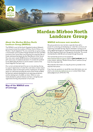
MMNLG information flyer
This flyer contains an overview of our group and information about our activities and how to get involved.
MMNLG Strategic Plan 2023–2026
The MMNLG Strategic Plan 2023–2026 sets out our purpose, the issues facing our area, our planning context and our group's objectives and planned actions.
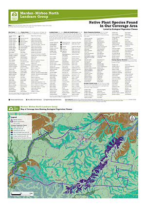
Mardan–Mirboo North Landcare Group – Native Plant Species Found in Our Coverage Area
This resource provides information about native plant species found in our catchment, listed by the Ecological Vegetation Classes (EVCs) in which they are commonly found. It also indicates which species are Koala food species and includes a map showing the extent of the EVCs within our catchment area.
 Mardan–Mirboo North Landcare Group – Native Plant Species Found in Our Coverage Area (PDF 3.4MB).
In Our Area
Baths Rd Reserve
Baths Road Reserve is patch of damp/wet native forest adjacent to the Mirboo North town centre. The 13Ha reserve contains about 2km of meandering walking trails, with the longest trail being around 750m.
More information (opens in a new tab)
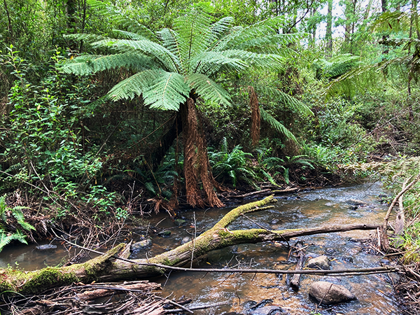
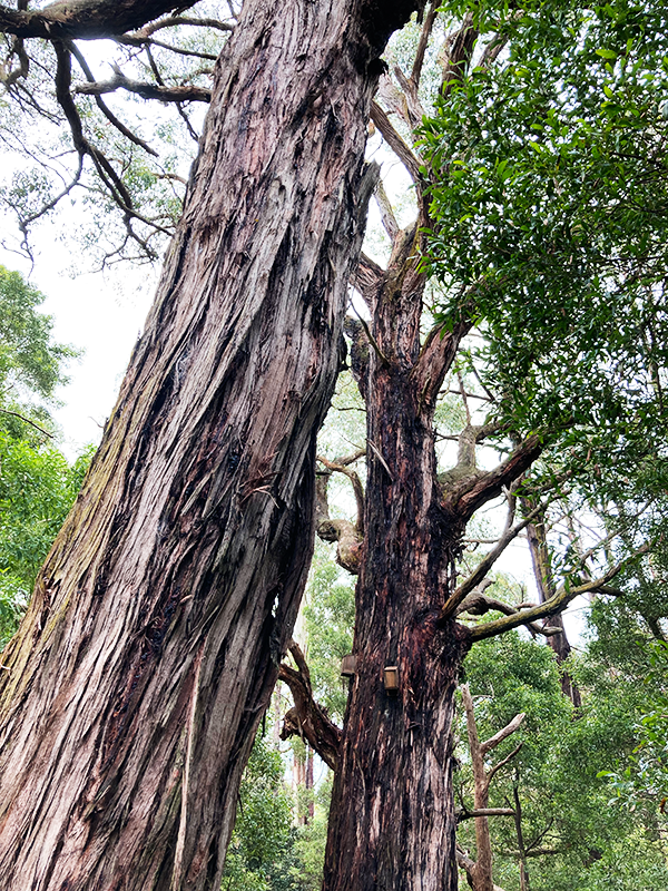
Lyrebird Forest Walk
The Lyrebird Forest Walk is located 3.3km north of Mirboo North in the Mirboo North Regional Forest. It features two tracks (3km and a 4.8km) which traverse a patch of remnant warm temperate rainforest along the Morwell River.
More information (opens in a new tab)
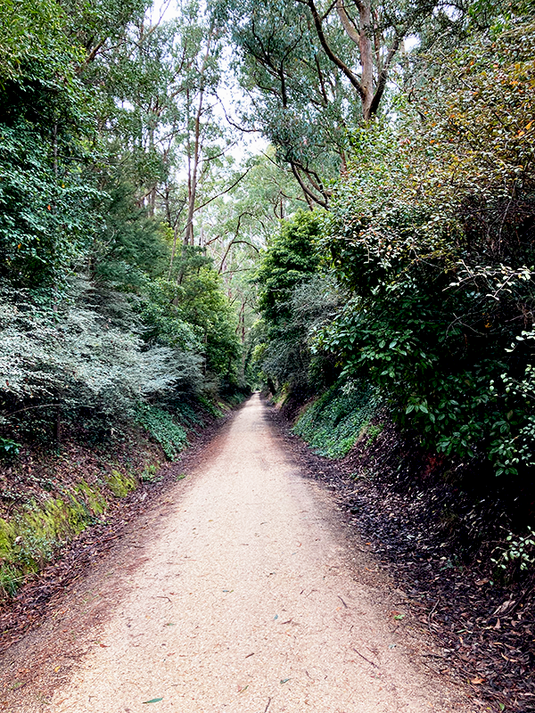
Grand Ridge Rail Trail
The Grand Ridge Rail Trail starts in Mirboo North and extends eastward for 13km to Boolarra, undulating through picturesque countryside and eucalypt forest and crossing two former railway arch bridges.
More information (opens in a new tab)